From navigation to survival, the ultimate digital downloads for outdoor adventures
Nothing beats the enjoyment of walking into the wilderness and connecting with nature, but the modern-day adventurer also has a massive range of digital apps to make that experience better, and safer.
One of the most groundbreaking technical innovations of recent years is personal GPS navigation. Although you should always carry a paper version with you as back-up, and GPS outdoor smartwatches are all the rage, you can avoid the inevitable wind and rain issues by using one of the many navigational apps available. As well as the obvious benefits of quick and easy access to information, these apps can also track your location so that you know exactly where you are.
Safety should always be of paramount importance as well, particularly when hiking off the beaten track, and there are plenty of apps out there offering tips if you get into a first aid emergency. Others share survival tricks, from setting up camp to advice on what to do in adverse weather conditions.
It’s not all about safety and navigation though, with a host of apps out there to add an extra level of enjoyment to your outdoor wanderings. Astrology apps can use your phone to identify the different constellations around you in real-time whilst detailed wildlife apps mean that you can search for the flora and fauna as you head across new and exciting landscapes.
From navigation tools to survival secrets, here are the best apps to download before your next hiking adventure.
Navigate the outdoors
Map My Hike
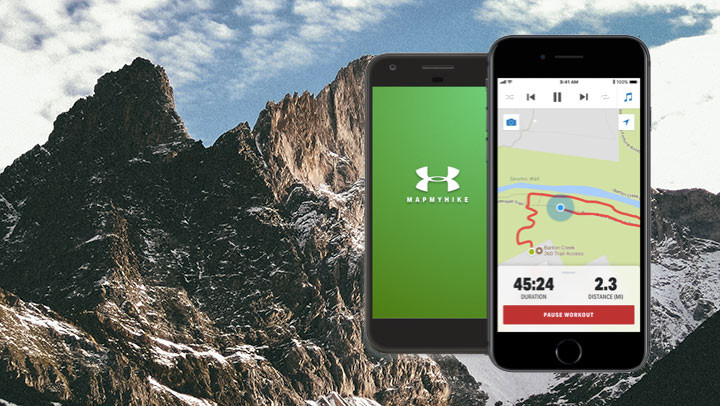
This is a great, easy-to-use app for entry-level hikers keen to track how far and how high they’ve trekked. It connects to your wearable device and produces a 24/7 activity graph, with results based on your pace, distance, calorie burn and elevation.
The community-based function lets you connect with other friends and hikers – perfect for staying motivated. It’s not as advanced as some other GPS apps – it tends to support road maps, making it more geared towards city hikes than rambles in the wilderness – but it’s a good, basic GPS option.
The app is free to download (for both iPhone and Android) but the premium level unlocks advanced fitness features, such as heart rate analysis and personal training plans.
Price: Free to download. Premium features on iOS £5.49 a month or £27.99 a year | Premium features on Google Play from £5.99
Download here: iTunes | Google Play
Gaia GPS
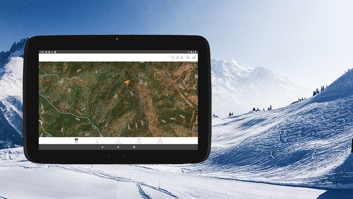
For hikes that take you into remote backcountry, don’t be without this great outdoor navigation app. Trusted by the Mountaineers and BC Adventure Guides, it offers access to a plethora of maps, including topographical, satellite and road maps.
You can track your hikes, measuring pace, distance and elevation, and also download a catalogue of offline maps for off-grid access. As well as easy-to-read modern maps, you can explore historical or classic print maps, which is a nice touch.
Price: Free to download. Membership features on iOS from £17.99 a year | Membership features on Google Play from £17.99
Download here: iTunes | Google Play
OS Maps
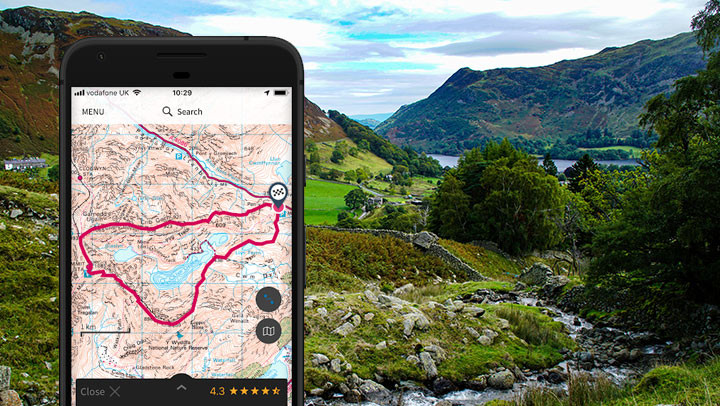
The trusty paper OS maps, loved by British hikers, have been given a technological overhaul with this nifty app. The UK’s most detailed leisure maps, they have been worked into an easy-to-use smartphone format, perfect for route plotting and navigation.
There’s also a new augmented reality feature that allows you to pan the landscape to see what’s nearby, be it mountains, forest, coast or settlements.
Price: iOS from £4.99 | Google Play from £1.99
Download here: iTunes | Google Play
Survival skills
SAS Survival Guide Lite
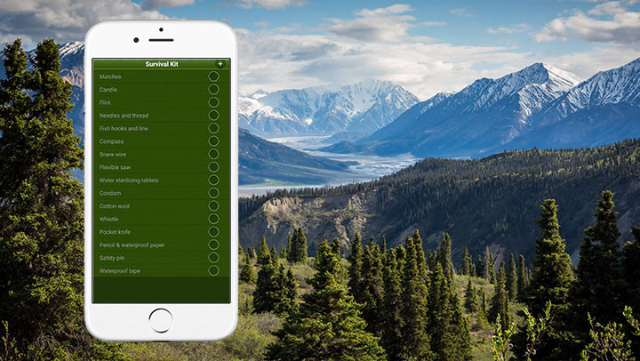
This free app brings the best-selling survival guidebook to your smartphone or tablet. Written by former SAS soldier and instructor, John “Lofty” Wiseman, it contains a wealth of information and handy tips on how to survive in the wild, with photos and videos taking you step-by-step through activities like building fires and setting up camps.
There are even quizzes to test your survival knowledge – a great campsite activity. The premium version offers additional features, such as a Morse code signalling tool and a sun compass.
Price: Free to download
Download here: iTunes | Google Play
First Aid by Red Cross
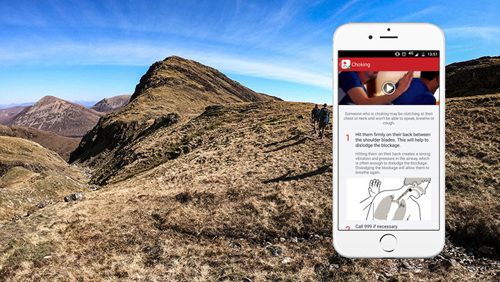
This is the app you don’t want to need. If you’re trekking in the wilderness and an accident happens, it’s crucial to know how to handle it – and keeping this app handy on your phone will be useful in emergencies. Its simple step-by-step instructions guide you through different first aid scenarios, such as choking and burns, and it’s fully integrated with emergency numbers if you need to make the call.
The app also comes with safety tips for everything from severe winter weather to hurricanes, earthquakes and tornadoes, with preloaded content meaning that you can instantly access the information without needing a phone signal. It’s free and available worldwide, tailored to your location (using the American, British and Australian Red Cross organisations).
Price: Free to download
Download here: Google Play
Enjoy the wilderness
iNaturalist
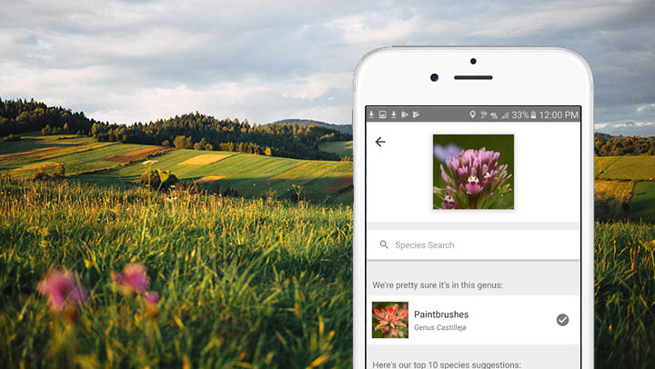
Hiking can take you through some wonderful stretches of nature, complete with flowers, trees, birds and animals. But is the wildlife leaving you stumped? If you want help identifying the flora and fauna around you, this is the app you need.
It lets you record what plants, insects, birds and animals you find and share them with other iNaturalist users. Just take a photo of what you find, upload it to the free app and, if you don’t know what you’ve seen, a community of over 400,000 scientists and naturalists will help identify it.
Recording and sharing your observations also helps create data for scientists – the app is a joint initiative by the California Academy of Sciences and the National Geographic Society.
Price: Free to download
Download here: iTunes | Google Play
SkyView Lite
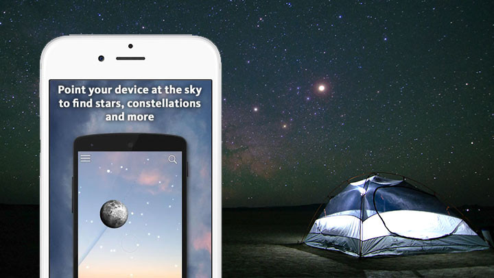
Ancient sailors and explorers from years gone by would use stars to navigate their way. Those days may be long gone, replaced with modern technology, but the constellations in the night sky are still fascinating to look at during night hikes or at camp.
SkyView allows users to point a device to the sky and identify stars instantly. It also gives you the names of different constellations and satellites. The perfect stargazer’s companion, the app does not require internet or signal to function, and is a fun way to teach yourself or budding young astrologers about the universe.
It features beautiful diagrams and images of the planets, allows you to time hop to see the sky on different dates and also lets you set notifications for upcoming stargazing events.
Price: Free to download
Download here: iTunes | Google Play
Go Jauntly
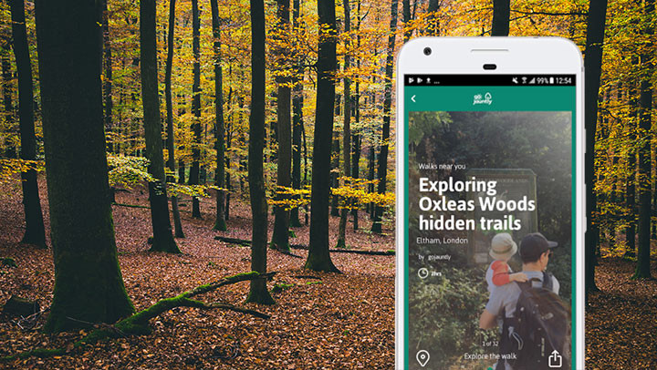
This is an excellent option for those looking to hike in a green space in or near the city. Founded by a pair of “nature-loving city dwellers” from the UK, this community-based app helps you find local walks created by the people who love and know them best.
You can also create your own routes and share them with friends, family or other Go Jauntly users. There are over 700 walks available across the UK, as well as in the US, Canada, New Zealand and Australia.
Premium price: iOS from £1.99 | Google Play free
Download here: iTunes | Google Play
PeakFinder
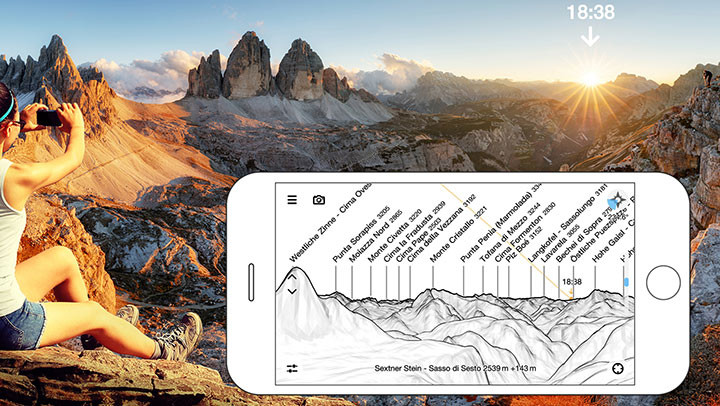
For hikers exploring the mountains, this app is hard to beat. It uses AR (augmented reality) to identify in real-time the different peaks surrounding you. You simply hold up your phone to the landscape and the app overlays the names of the mountains and peaks, so you can learn all of their names and elevations.
Another great aspect to the app is that it works offline, so you don’t need to worry about internet connection, and a database with a peak directory is included. It knows more than 350,000 peaks worldwide (with weekly updates) so you’re bound to find out a little more about the mountain range wherever your hike takes you.
Price: iOS from £4.99 | Google Play from £3.99
Download here: iTunes | Google Play
Relive
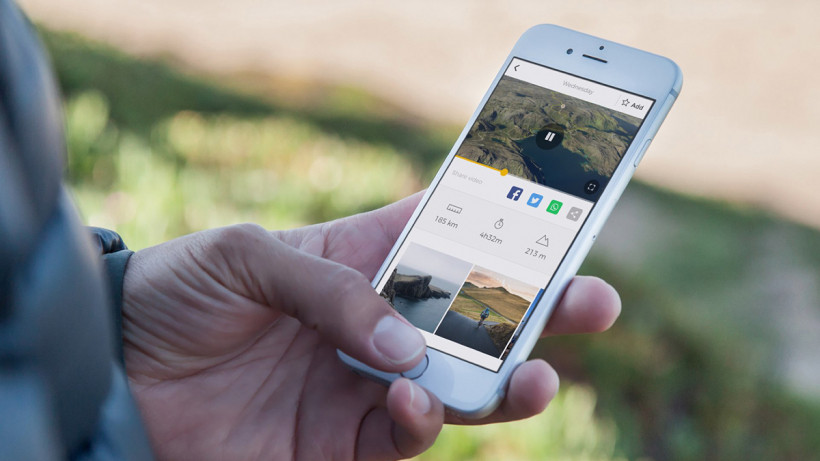
Using this fun, free app is the ultimate way to recreate your hike – without having to lace up your boots again. It allows you to turn your trek into a 3D animated video with just a few taps on your screen. The Dutch startup – used by Tour de France cyclists and Instagram founder Kevin Systrom – creates visually interesting and realistic videos that you can then share on social media.
Simply track your route (the app works with trackers including Garmin and MapMyHike), then use the app to transform your hike into a video story in which you fly over your waypoints and see photos taken along the way. It also shares your elevation and speed – so everyone can know how hard you hiked.
Unfortunately the integration with Strava came to an end earlier in 2019 due to some API issues, so it’s a little bit trickier to use than it previously was – doesn’t stop it being a cool app though.
Download here: iTunes | Google Play


