Strap on your boots and head for one of these easily-accessible southeast trails
London and concrete, forever entwined. But sometimes they can start to drag you down and you need an escape, and that’s where our list of (relatively) easily to get to hikes come in.
Most walks in this list – but not all – require a quick hop on a train from central London, and can be done in a day. They all feature at least one of the following: historic sights, lakes or oceans, sculptures, open heathland, rare wildlife, baked eggs, gin, wine or beer. And they all contain zero smog or streets of pedestrians that you need to overtake by stepping into oncoming traffic.
Essential reading: The best hiking boots for men | The best hiking boots for women
Each features a link to the route, some with a detailed turn-by-turn description. We’d recommend taking an OS Map too if you can, in case your phone fails.
We assure you the views and challenging terrain they feature are worth the effort it takes to get there, and when you arrive back in London you’ll be inspired, revived, energised and ready to choose another from the list for the following weekend. From Sussex to Essex, here are our picks.
The Polesden Lacey Big Walk, Surrey
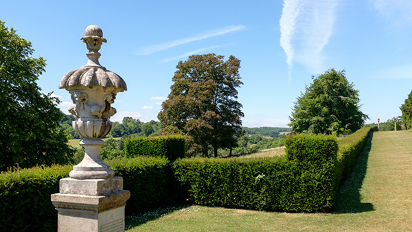
This testing 4.2-mile trail takes you from the National Trust’s Polesden Lacey house into Ranmore Common, skirting along the edge of Box Hill and the South Downs.
The main draw of this particular route, aside from the fact you get to see a genuine Edwardian country retreat and views you don’t get at many other places in the south, is that it passes near Denbies Wine Estate, one of the largest wine producers in the UK.
Here, if you have time, you can enjoy a few tasters or even take a tour of the winery. We can’t think of many better ways to prematurely end your hike.
Get the train to: Boxhill (2 miles to start)
Distance: 4.2 miles
Difficulty: Medium
Coombe Hill & Chequers Trail, Buckinghamshire
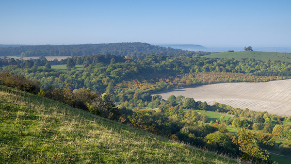
A Buckinghamshire loop that offers walkers sweeping views of Aylesbury Vale, and perhaps most importantly at this challenging time for the government, a chance to peep at Chequers, the prime minister’s country retreat, where you can boo from afar to your heart’s content.
Before reaching May’s pad, though, you’ll pass by the striking Boer War memorial sitting atop an impressive viewpoint, and journey through the could-not-be-more-English-if-it-tried village of Ellesborough (crossroads? Check. Pub? Check. Parish hall? Absolutely nothing else? Check).
Get the train to: Wendover (1.5 miles from start)
Distance: 7 miles
Difficulty: Medium
Dedham Vale, Essex
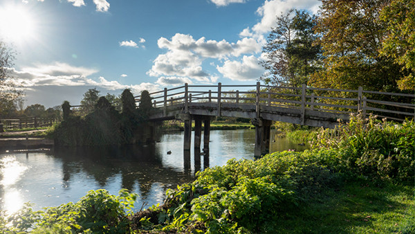
You’re in Constable country here – head from Manningtree station into Flatford where a 4.7-mile loop takes you through a seemingly never-ending collection of stunning sights that inspired the great artist.
You’ll walk alongside the peaceful River Stour, and Dedham itself inspired many of Constable’s paintings – you’ll be Googling ‘The Hay Wain’ and ‘Flatford Mill’ to contrast and compare as you walk. Plus you can tack on an extra four miles if you’re feeling inspired (and energetic). Failing that, bring your easel and put that C in GCSE art to good use.
Get the train to: Manningtree
Distance: 4.7 or 8.7 miles
Difficulty: Easy
Medway Valley, Kent
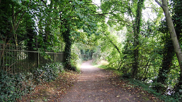
Tonbridge is easily accessible from central London, and this walk is a beast: 15.1 miles in total, looping out to Hadlow and back to Tonbridge, so pack a bundle of Clif bars. Strap yourself in too because this walk takes in not only a unique church but
Get the train to: Tonbridge
Distance: 15.1 miles
Difficulty: Challenging
Mill Trail, Hampshire
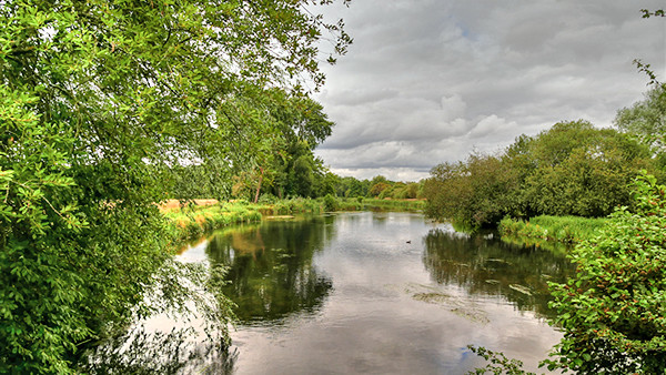
Starting at Whitchurch station, this loop follows the stunning River Test which takes in not one but five historic mills. Yes, this is a walk for all you mill lovers out there, as the route takes in one mentioned in the Domesday Book, and one that is still in operation.
The trail is waymarked, so you don’t need military-level navigation skills, and it takes you along the Test, which is famous for its fly-fishing: ready your camera to snap the brown trout in the waters. It also passes very close to the Bombay Sapphire distillery in Laverstoke, if you want to make an unscheduled stop for a quick livener.
Get the train to: Whitchurch
Distance: 7 miles
Difficulty: Easy
Celandine Route, Middlesex
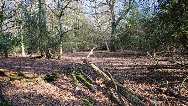
Following the route of the River Pinn (we’d never heard of it either), this west London 12-miler can be completed in one go or in sections, as there are plenty of opportunities to finish early and jump on the far reaches of the Central Line.
It’s not a hugely well-known route, so you may have sections of it to yourself, but signage is not great, so make sure you have a map of the route and GPS with you if you want to get to the end point: the Grand Union Canal at Cowley.
Get the train to: Pinner
Distance: 12 miles
Difficulty: Medium
The Seven Sisters Walk, East Sussex
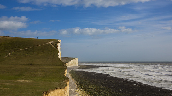
This epic hike is part of the South Downs Way, so once you’re at Seaford just find the signs and follow them, which means navigation is not a problem. What
Get the train to: Brighton, then bus to Seaford
Distance: 13.6 miles
Difficulty: Challenging
Twyford & Ruscombe, Berkshire
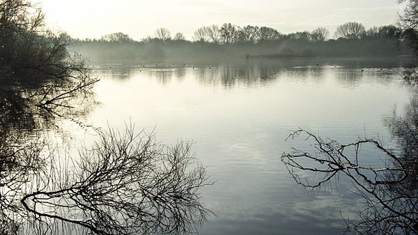
Starting and ending in the town of Twyford (first fact you can throw in, Twyford means ‘two fords’, as the town contains a pair of fords), this is one for history buffs: we’re talking druids, Saxons, Normans, Isambard Kingdom Brunel and wine – Stanlake Park Wine Estate has 20,000 vines and regular tours and tastings.
You’ll also pass through the Loddon Nature Reserve, which is a flooded gravel pit now teeming with wildlife. Five miles later you’ll be at the end and in need of a pub lunch – luckily Twyford contains a trio of decent pubs.
Get the train to: Twyford
Distance: 5 miles
Difficulty: Easy
Haslemere Rail To Ramble, Surrey
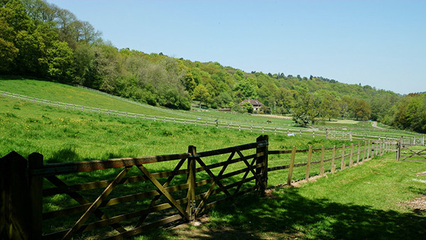
A 12-mile route to Liss, with the option to call it a day after 5 at Liphook (all on the main line into Waterloo), this follows part of the longer 64-mile Serpent Way (add that one to your bucket list). It winds through acres of purple-heathered heathlands in deepest Hampshire; in fact, for parts of it you’ll be walking along the Surrey/Sussex border.
Look out for the Dartford warblers and sand lizards that you won’t find anywhere else in the UK. There are a couple of pubs towards the end of the route, at miles 10 and 13, so know that a pint awaits to re-energise you for the final push.
Get the train to: Haslemere
Distance: 5 or 12 miles
Difficulty: Medium
River Lea to Stoke Newington, London
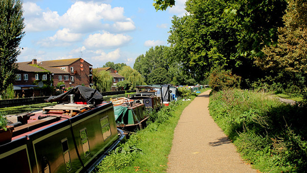
For those who are reluctant to leave the confines of the capital, here is your inner-city hike. Start at the southern end of the Hackney Marshes on Marshgate Bridge and head along the River Lea.
When you hit Springfield Park, divert away from the river and towards Stoke Newington, where you can take your pick from pubs and cafés to refuel in. We heartily recommend The Good Egg – the shakshuka baked eggs are the perfect way to end a bracing hike like this.
Get the train to: Hackney Wick
Distance: 4.5 miles
Difficulty: Easy
Oxted Circular Walk
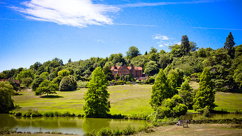
Being just nine miles south of Croydon and nestled at the foot of the North Downs means that this walk is the perfect option for convenience and beautiful scenery.
One of the most popular routes in the in the area – as well as one on the longest – it will take you from the town of Oxted and across a series of woods and commons as you make your way to the village of Westerham.
Starting from Oxted train station, head right and make your way to Wolf’s Row. From here make your way across the bridleway to Limpsfield Chart and then across Limpsfield Common and the northern end of Crockhamhill Common – before venturing into Westerham for a bit of lunch.
The way back takes an almost completely different route as you circle around the southernmost part of Crockhamhill Common, a section that offers the chance to visit Chartwell, the family home of Winston Churchill.
Get the train to: Oxted
Distance: 14.1 miles
Difficulty: Medium
Main image credit: National Trust Images/James Dobson


