There's more to Wales than hiking up the biggest mountain
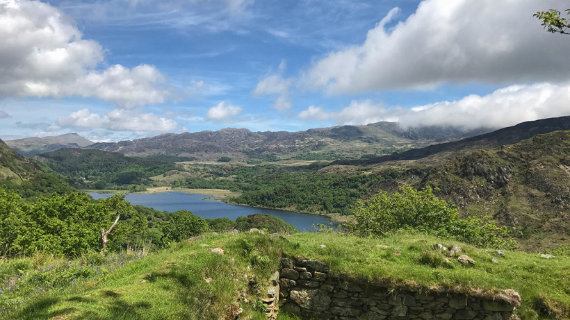
Blessed with epic mountain climbs, idyllic lakeside rambles, and beautiful coastal hikes, Snowdonia is the ideal getaway for any walking trip. This mountainous region – named after the country’s tallest peak, Snowdon – is located in northwestern Wales. It’s also home to Britain’s third national park (established in 1951) that stretches for 823 square miles. Inside, you’ll find a massive network of public footpaths – some 1,479 miles of them – with routes available for all abilities.
With so much walking on offer, it’s no wonder Snowdonia is a hiker’s dream location. Whether you want the challenge of ascending Snowdon or Cader Idris, or prefer a more leisurely walk along the coastline or through forest, you’ll find something here. Terrain ranges from rugged mountain peaks to long sandy beaches, crystal clear lakes and gushing rivers.
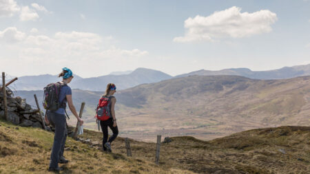
As with any trek, before setting out, make sure you’ve checked your route, weather conditions and have told someone where you’re going and when you expect to return. Don’t leave without trekking essentials, like a daypack loaded with fluid, snacks, maps, and extra layers. And don’t stint on walking boots – a decent pair is a good investment and your feet will thank you later.
Here’s our pick of some of the best walks Snowdonia has to offer.
Best for a gentle hike
Cwm Idwal Circuit
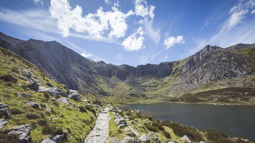
For an easy hike that takes you into the heart of the Glyderau range, head for YHA Idwal Cottage, where you can begin a gentle walk around the waters of Cwm Idwal. The slabs around the head of this corrie are popular with rock climbers, and there’s excellent ice climbing here in winter.
Surrounded by high crags and scree, with a lake on its floor, Cwm Idwal is an epic product of glaciation. The trek is just three miles, and can usually be completed in two hours or so. You’ll cross an oak bridge and pass large fractured rocks known as Darwin Idwal Boulders.
Gaze up at Idwal Slabs, a training ground for many pioneering mountaineers including Everest conqueror Edmund Hillary and his Welsh teammate Charles Evans. As you walk, look out for the fragile and rare plant life that can be found in this area such as the Snowdon lily and moss campion, usually found in the arctic tundra of Eurasia and North America.
Dôl-goch, Tywan
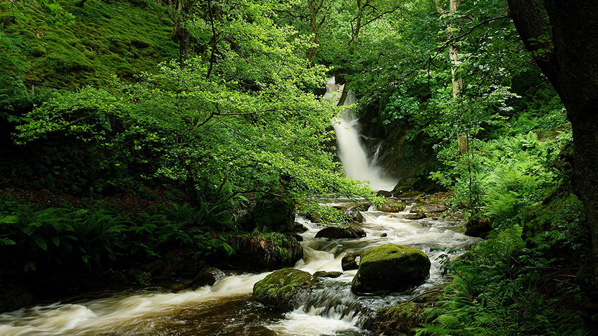
This easy two-miler takes you deep into fairytale-like woodland, with green-cloaked trees and a magical gorge at its heart. There has been little grazing in the forest over the years, so you’ll see an unusually rich mixture of plants, such as honeysuckle, ivy and a number of different species of fern.
Gaze up at the stream cascading down the gorge, or cool off with a refreshing dip. It takes around 45 minutes to reach the gorge, which has a northern side of acid soils and heathery vegetation which gets denser the higher up you go.
The southern side of the gorge is the polar opposite, reflected in the plants found here, such as dog’s mercury, primrose and wood avens.
Dynas Emrys legendary trail
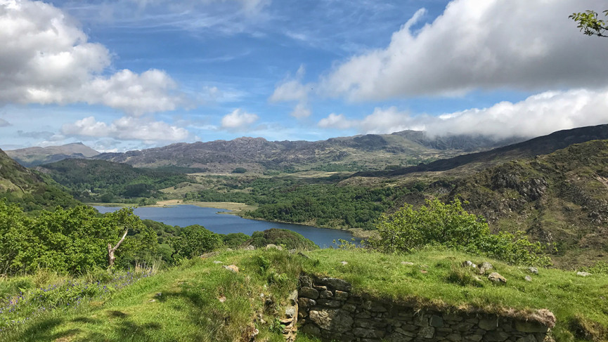
If you like a bit of legend thrown into your hike, this is the route for you. A moderate 2.2-mile walk takes you to the top of Dynas Emrys, a rocky hillock with a legendary background story.
It is said that King Vortigern wanted to build a castle on top of Dinas Emrys, but the walls would fall down every night. Merlin, the wizard, said it was because there were two dragons fighting beneath the hill, which caused the walls to tumble. Vortigern had the mountain dug up and set the two dragons – one red, one white – free.
The dragons fought until eventually the white dragon fled and the red dragon returned to his lair. The red dragon has been celebrated ever since in Wales, and the castle was built and named Dinas Emrys in honor of Myrddin Emrys (Merlin).
Have this story in your mind as you walk through thick oak woodland, and past a beautiful waterfall known as Merlin’s Pool. You’ll cross stiles and zig-zag path up rocky paths until one final push to reach the top of Dinas Emrys with awesome views below.
Best for an intermediate hike
Aberglaslyn Pass Loop
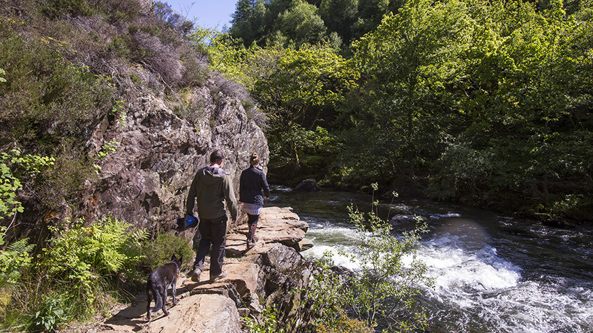
The Aberglaslyn Pass is a narrow gorge in Gwynedd, flanked by lush trees and steeply sloping mountains. The river Glaslyn flows from the hillsides of Snowdon down to this gorge and eventually on to the sea at Tremadog Bay.
A great, circular route starts at the National Trust car park near this gorge and takes you along the fisherman’s path that traces the gorge before heading to Bedd y Ci (the grave of Llywelyn the Great’s faithful dog), where you can spot a bronze sculpture of Gelert nearby.
You’ll also pass through the pretty village of Beddgelert and the old copper mine workings of Sygun and Cwm Bychan. Pause for a panoramic pit stop along the tranquil waters of Llyn Dina before zig-zagging uphill to Bwlch y Sygun.
The route, which is just shy of six miles (5.7 miles), traverses terrain that is steep in places and usually takes around four or five hours to complete.
Wales Coast Path
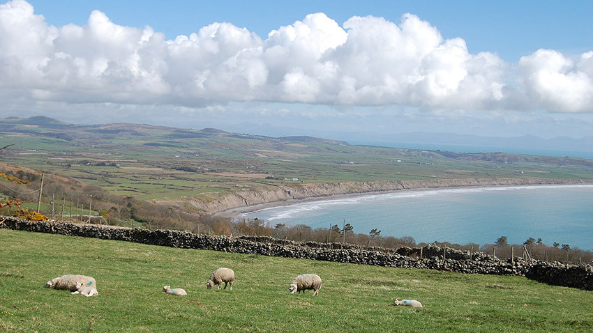
Snowdonia is not all about mountains – there’s a glorious stretch of coastline, too. Expect rugged cliffs, secret coves, sandy beaches, and wild heathland.
Gwynedd’s coastline stretches for 180 miles from Llanfairfechan in the north of the county, down to Machynlleth near the south of the county. It makes up part of the 870 mile-long Wales Coast Path, which traces the whole coast of Wales. Gwynedd Council has developed 18 circular walks that showcase both the stunning seascapes and the nature and heritage of nearby villages and towns.
Try the Aberdaron route, which is just over nine miles. It includes views of Bardsey Island (the ancient island of monks and Celtic saints) and includes a gradual ascent up the slopes of Mynydd Anelog.
You’ll also visit Porthor, known for its shipwrecks and smuggling heritage, and glimpse views as far as Cardigan Bay in good weather.
Best for a challenging hike
Snowdon
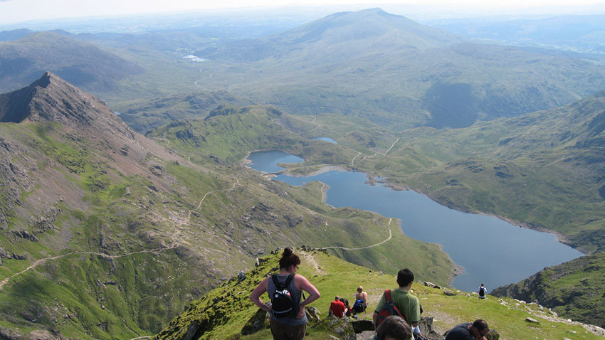
Summiting the highest peak in England and Wales is no walk in the park. Towering over the village of Llanberis, Snowdon is part of a range of jagged peaks and – once you’ve made it to its 1,085m-high summit – it offers views of Snowdonia, Anglesey, Pembrokeshire, and Ireland.
There are six main paths to choose from, of varying difficulty. With a steady gradient all the way, Llanberis Path is the easiest and longest (nine miles). For more of a challenge, try the seven-mile Pyg Track, which is much rougher underfoot. If you’re looking to push yourself even further, set off on the Watkin Path, which is physically demanding – with more climbing than any other direct ascent.
The eight-mile path is named after the railway entrepreneur Sir Edward Watkin, who had a summer house near the start of the path and was responsible for creating the path from South Snowdon Slate Quarry to Snowdon’s summit.
Cader Idris
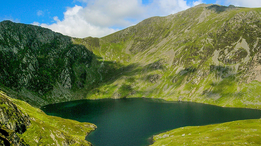
Located in southern Snowdonia, Cader Idris rises 893m above sea level and makes for a tough day’s hiking. There are three main routes to the top.
The Pony Path is the easiest but longest, measuring almost four miles each way. Fox’s Path is the most direct route, though erosion on the final scramble up a cliff-scree face has made it dangerous. Minffordd Path is a good option – it’s three miles each way, and takes you past the glacial Tal-y-llyn Lake at the start of the route.
It’s not for the fainthearted – there are two tough ascents of over 300m each, and you’ll climb along the rim of Craig Cau rockwall. At the top, expect incredible views of the majestic waters of Llyn Cau below.
According to legend, anyone who sleeps on the slopes of Cader Idris alone will awaken either as a madman or a poet. You’ve been warned.


