96 miles of Scottish otherworldliness between Milngavie and Fort William
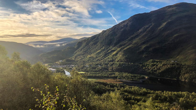
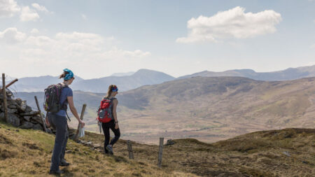
From bonny lochs and undulating moorland, to fragrant forests and craggy mountain ranges; the West Highland Way takes you on a diverse journey through the very best of Scotland’s sublime landscapes.
Rain is almost a certainty whichever time of year you choose to go, but don’t let that put you off. The ethereal scenery is just as majestic – if not more so – when shrouded in all its misty, moody splendor.
What is the West Highland Way?
It’s Scotland’s first and most popular official long-distance walking route, taking in 96 miles (154km) of otherworldliness between Milngavie and Fort William. It has been drawing in mountain lovers from across the globe since the 1980s, and while its wide appeal does mean that you won’t go a day without company, at no point does the route feel busy or overcrowded (in early September, at least) – and the camaraderie among walkers is, for many, a highlight.
The West Highland Way (WHW) is as much about celebrating Scotland’s beauty as it is the pretty Highland towns punctuating the landscape, where the hospitality is warm and welcoming. You’ll never go a day without reaching civilisation in some form and, for most of the trek, you can comfortably eat two square meals a day in pubs or restaurants, if you choose to.
The WHW’s popularity over the decades means that there is also a wide range of accommodation options, whether you’re looking for hotels, hostels, little pods or campsites.
Trek details
Distance: 96miles / 154km | Highest point: 548m | Time to complete: 7 days | Highest temperature: 16C | Lowest temperature: -1C
Overview of the trek
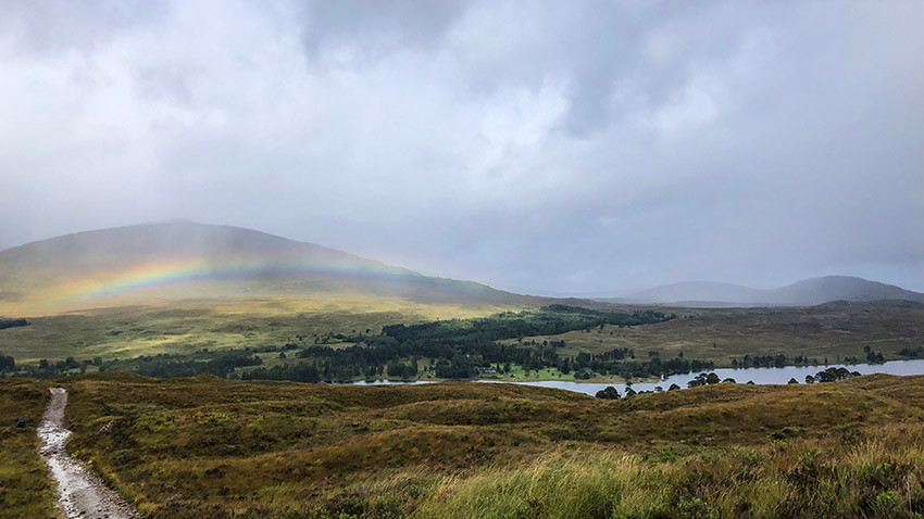
The scenery becomes increasingly impressive and wild as you go, with the lush lowlands and forests at the beginning of the route unfolding into the jagged shoreline scenery circling Loch Lomond, before the more imposing, rugged mountain terrain transporting you to the end.
You’ll follow wide, old military roads as well as rocky, narrow paths, with plenty of ups and downs of varying difficulty.
Although the weight of camping equipment makes things tougher, the reward of this approach is route flexibility, and the opportunity for wild camping at some stunning, isolated spots. This is banned along much of the Loch Lomond stretch between May and October, but there are a small number of areas where pitching is allowed with a permit.
If sleeping under canvas isn’t your bag, then there are plenty of places – including camping pods – along the route. There is also an efficient baggage transfer service if you’re looking to lessen the load.
The route is clearly waymarked, and the path well maintained, albeit miry in many sections on our early September visit, which was preceded by a week of savage storms.
Getting there
Catch the train to Glasgow from whichever part of the country you’re heading in from. For me, that was a pleasant overnight trip onboard the Caledonian Sleeper service from London Euston (from around £90 return for a seat and £300 for a double).
Milngavie is then a short 20-minute regional train journey out of Glasgow Central, with the small town (where you can grab a hearty Scottish breakfast) and stone obelisk marking the start a brief stroll away. Fort William has a train station with services running back to Glasgow, as well as the Caledonian Sleeper service to London. The station also has showers you can pay to use.
Route description
This route takes you south to north, from Milngavie to Fort William, in seven days, camping along the way (although there are hotel options at or near each overnight stop). Very seasoned hikers could do it in six, perhaps five, but with full kit in tow that’s a real push.
Mind-blowingly, some runners finish the trail in 35 hours in an annual race. Most walkers, however, choose to complete the WHW in seven days, regardless of the weight they’re carrying – and, for the vast majority, that’s an ample but enjoyable challenge.
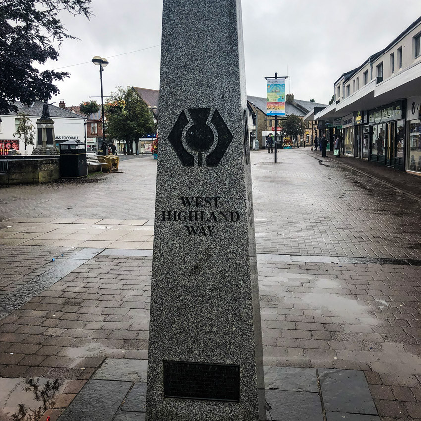
The walk can be done in the reverse direction, but the benefits of going south to north are two-fold. Firstly, the northern-bound route is far and away the most popular, which means that if you’re walking in the opposite direction, you’re going to be met by a steady flow of hikers interrupting your stride on narrower paths.
Secondly, the south to north route eases you in gently to some of the tougher walking that lies ahead and rewards you with the very best scenery towards the end.
Large sections of the route are easy on the legs, but there are days that are more strenuous than others, with some taxing climbs and steep descents. The biggest single ascent, which takes you to the highest point of the hike, is a sharp but manageable 300 meters. Each section leaves you in or near a town with facilities, should you need them.
Timings for each stretch vary greatly, depending on fitness levels, weather and the weight of bags. Some parts take significantly longer in bad weather and with heavy loads, so take care not to get caught short on time or daylight.
Day 1 – Milngavie to Drymen (12 miles/19km)
Breaking you into things gradually, this first day takes you out of the small town of Milngavie and away from the suburbs into the open lowlands. The path is mostly straight, smooth under foot and relatively flat.
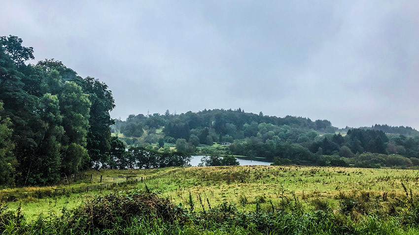
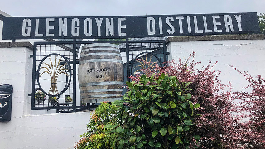
The odd loch appears along the way as the Highlands in the distance beyond Drymen start to nudge into view. After skirting the wooded knoll of Drumgoyach, the route joins a disused railway track passing the western tip of the Campsie Fells. If by now a wee dram to warm the cockles appeals, you’re in luck, as the Glencoyne Distillery soon appears, right at the half-way point.
It’s a five-minute detour across a field, and you can either take a guided tour or fill up your hip flask with a bottle from the shop. If that whets your appetite for more, there’s a pub a few minutes along the path.
When the route hits the outskirts of Drymen, there’s a short section of road walking, along which you’ll find Drymen Camping, in an area lacking in any obvious wild camping opportunities. It has basic but good, spacious facilities and a small but pleasant field overlooking farmland to pitch your tent in.
A further mile away is the charming village of Drymen with a range of accommodation and pubs. The warming grub at the Clachan Inn – which claims to be Scotland’s oldest licensed pub – is top notch; it’s very popular as a result, so booking is recommended.
Walking time: 4 to 6 hours
Where to stay: Drymen Camping (01360 660597)
Day 2 – Drymen to Rowardennan (15 miles / 22km)
Today, the trail soon hits the Garadhban Forest, with its intense, damp conifer scent. You’ll want to breathe it all in. Then, on emerging from the trees, you’re met with the finest views of the hike so far and the first glimpse of Loch Lomond, which forms the resplendent backdrop of the next two days.
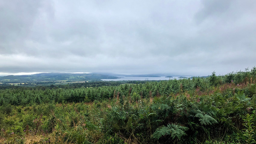
The path continues to wind through what remains of the largely felled conifer forest, until it splits at the foot of Conic Hill. You can either choose the challenging high route taking you up onto this 361-meter outlook, where you’ll be afforded spectacular views over Loch Lomond on a clear day, but not much more than the cloud in front of your face on a drizzly one.
The alternative shorter route takes you through open farmland and onto the pavement of the main road leading to the day’s half-way point and chocolate box hamlet of Balmaha on the loch shores, where you’ll find the cozy Oak Tree Inn for a welcome lunchtime stop-off.
It’s from here that some of the trickier walking begins. A steep ascent takes you away from Balmaha and onto the path hugging the shores of Loch Lomond, Britain’s largest lake. After a short section of road walking, you’ll briefly lose sight of the water as you enter an ancient oak woodland with a gushing stream running through its heart.
The scene is set here for the rest of the day, as the meandering path takes you on a rollercoaster of steep climbs and descents through the trees, with the rocky coves and little pebbled beaches of the loch shoreline dipping in and out of view.
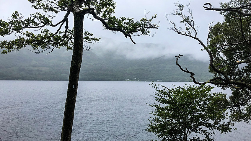
The nearest campsite to Rowardennan is Sallochy, with waterfront pitches as well as a large green. But it’s still a good distance away from the section’s end point, along tiring terrain. You’re in the camping exclusion zone here, but there are a few small areas where pitching is allowed with the purchase of a permit for £3.
We were lucky enough to bag two of the day’s five permits for the Lochan Maoil Dhuinne site, set much further on, down a steep hill on a small, secluded headland, where you can camp under the shelter of the trees or at the full mercy of the elements on the pebble beach. With little wind, we opted for the latter, and as far as camping spots go, it doesn’t get much better.
With the beach to ourselves, we cooked dinner as the sunlight faded and the loch fell under moonlight. That hip flask of whisky picked up on day one washed things down nicely and falling asleep to the sound of the loch’s gently lapping waters was dreamy. Don’t be tempted to pitch without permission; the rules are strictly enforced, and my permit was checked by a ranger.
Walking time: 6 to 8 hours
Where to stay: Book camping permits for Lochan Maoil Dhuinne here
Day 3 – Rowardennan to Inverarnan (14 miles / 22km)
Without doubt, the toughest day of the entire hike. From Lochan Maoil Dhuinne there is about half-a-mile left of the winding woodland stretch to complete before hitting the road to Rowardennan a short distance away. There’s little here, apart from a pub and B&B, a couple of hostels and some public toilets housed in a white brick block, nearby to which there’s an optional offshoot to Ben Lomond – Scotland’s most southerly Munro, at 974 meters tall.
Otherwise, the WHW presses ahead along a gentle forest track before splitting into two. Swing left for the challenging loch-side walk but go straight for the gentler woodland track with only occasional views of the water. It’s not clearly marked, so don’t deviate from the straight forest track if you want the easy route.
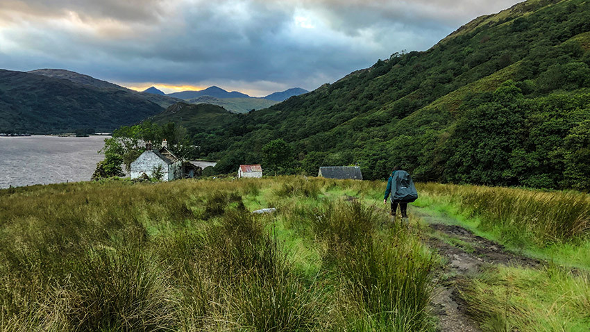
The harder route clings to the shoreline along a narrow path and negotiates fallen trees, rocky waterfalls and some painfully steep and tricky ups and downs. The going is slow, grueling and feels gnarly at times, particularly when balancing on rocks with bulky packs, but the compensation is spectacular views across Loch Lomond.
Nearing the half-way point, the trail briefly breaks away from the shore and into the forest, passing some sun-dappled, mossy remains before Rowchoish Bothy appears on the left. The two paths then rejoin for the remaining stretch to the day’s half-way point of Inversnaid. By now, you’re outside the camping restriction zone, and for those able to press on further than Rowardennan on day two, there were some spectacular loch-side spots to be had.
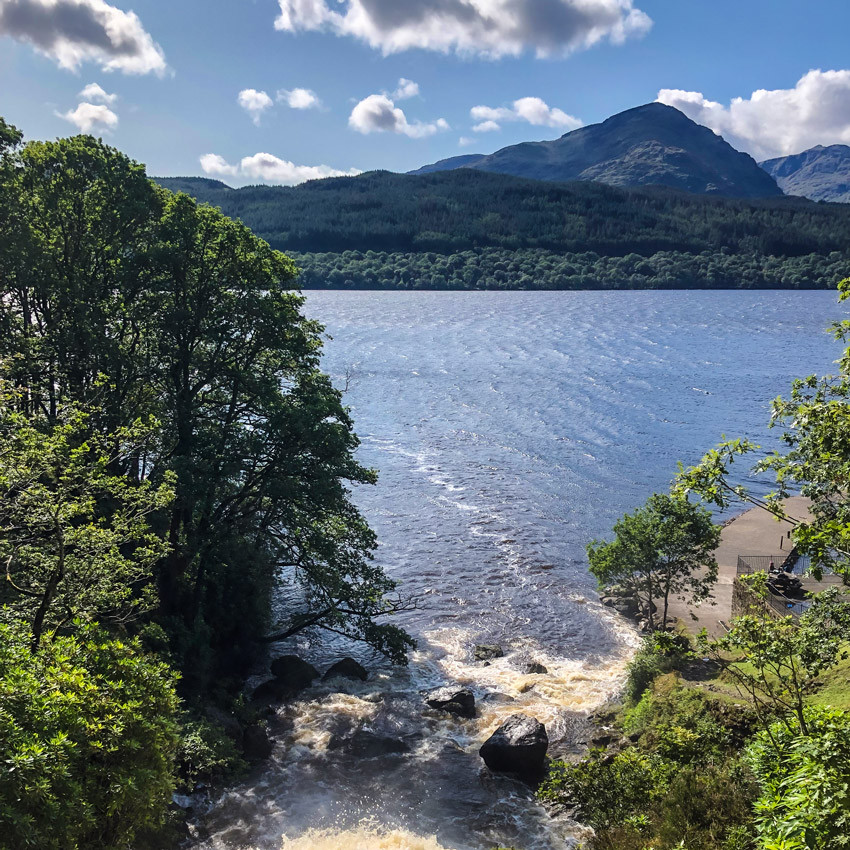
Inversnaid, with its thundering waterfall tumbling into the loch – crossed by a wooden bridge – was an idyllic stop. There’s a water point and picnic benches with glorious views for anyone wanting to cook lunch, or the Inversnaid Hotel, with a walkers’ bar for those looking for a chef to do the work.
Whichever you choose, you’ll need some serious fuel for the next leg, which is even tougher than the first and has no easier alternative.
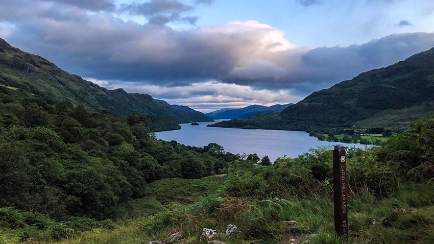
The craggy loch-side path continues to yoyo along the shore, but is technically more challenging, with a fair bit of scrambling over slippery rocks, clinging onto trees and some shuffling down big boulders on backsides needed.
If the morning feels a little on the hairy side, the afternoon will seem somewhat perilous at times. It’s a long, arduous stretch, and so when the end of Loch Lomond comes into view, it’s a welcome sight. Once off the shore path, a little bit of rock hopping over a shallow stream leads you uphill and away from the water. With such dramatic views opening up behind you, it’s hard to resist stopping to take picture after picture.
Next to some ruins with the final inlet of Loch Lomond to the side, lies the Doune Byre Bothy. When we passed, some walkers already had the fire going, nearly luring our damp souls in. Perhaps it was a mistake not to stop, as we lost sunlight quickly – shortly after our parting views of Loch Lomond, just beyond the turn off for the ferry to the village of Ardlui on the opposite shore.
It meant we had an hour or so trudging across boggy ground and waterfalls with only the light from our headtorches. So, stumbling into the Beinglas Campsite, which is located right on the WHW at the bottom of a valley, was perhaps one of the hike’s biggest moments of relief.
The facilities here are among the best you’ll find for campers; an inviting pub, lovely and clean hot showers, a large kitchen and big dry room. Over a couple of drinks in the bar it became apparent that we weren’t the only ones to underestimate the timing for this stretch; weary walkers were still arriving past 11pm, complaining of its difficulty.
There’s no flying along this leg with heavy bags, and it took us 11 hours with a knee injury on top. So, allow plenty of time to complete this dicey section.
Walking time: 6 to 11 hours
Where to stay: Beinglas Campsite
Day 4 – Inverarnan to Tyndrum (12 miles / 19km)
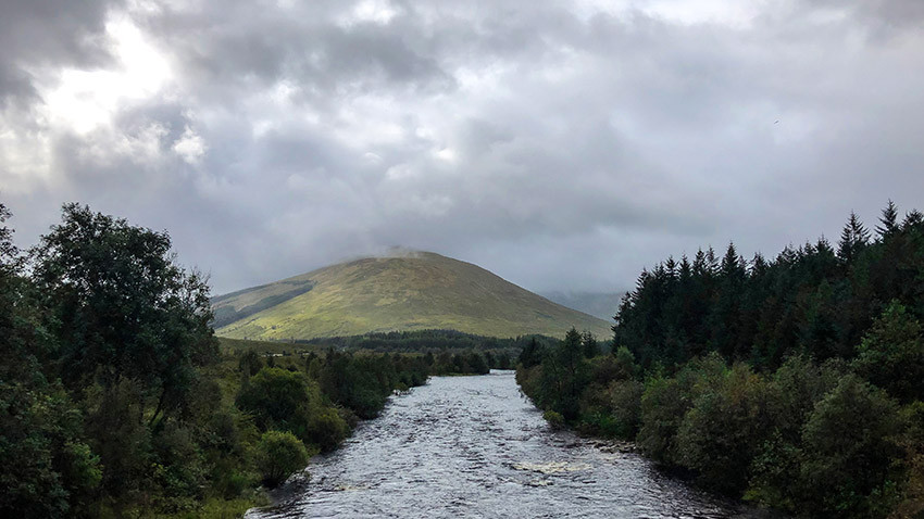
After the previous day’s challenges, it will be a relief to hear that the next leg is among the easiest of the entire walk. Joining the WHW directly from the campsite, a gentle incline takes you up out of the valley, with striking views of the Highlands – the vast, lush, mountainous scenery now a refreshing change from the low-level vistas of the previous two days.
Although a little bit marred by a long line of electricity pylons and, at times, a busy road, this pleasant 6.5 mile path carries walkers beside a stretch of the River Falloch and, later, weathered dry stone walls separating the trail from pastures dotted with mountain goats and sheep.
When you reach the peak-top pine forest at Ewich, you’re at the half-way point of the whole hike. The village of Crianlarich and its facilities is a 15-minute detour.
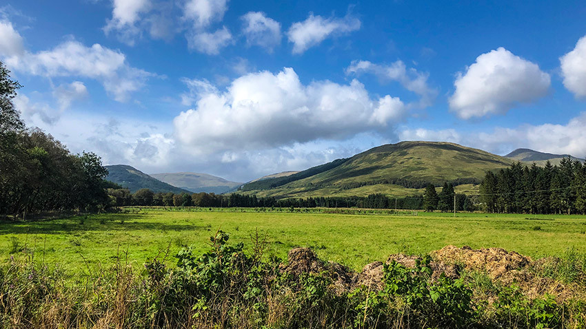
The path then descends, steeply at times, for about 2.5 miles through the mossy-floored forest and over several little waterfalls until it emerges by the railway arches over the stream.
After crossing a main road, the track opens out into rolling farmland and the floodplains of the River Fillan, watched over by the towering three peaks of Ben More, Stob Binnein and Cruach Ardrain. You’ll continue across sheep-scattered plains until the WHW joins a country lane.
Normally, it continues across a moorland, but the section had been closed by storm damage on our visit, with a diversion along the practically adjacent cycleway into Tyndrum.
Tyndrum By The Way has camping, pods and a hostel, and we opted for a hut on this day to get dry. In the town, which straddles a busy main road, there is a shop – the last on the route – and a few restaurants. The Real Food Café with its award-winning fish and chips is every bit as good as it sounds.
Walking time: 4 to 6 hours
Where to stay: Tyndrum By The Way
Day 5 – Tyndrum to Kingshouse (19 miles / 30km)
After waving goodbye to Tyndrum, a wide stream soon threatens to re-drench any newly dry boots, but some clever footwork will get you over the water unscathed. The route quickly starts climbing back up into the hills to join the old military road traversing the top of the valley, overlooking the main road and railway line in the distance below, with mountains on both sides.
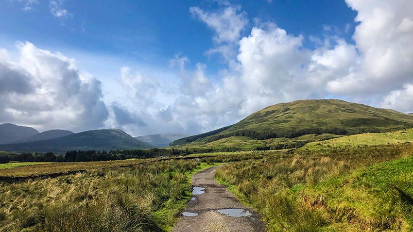
This first seven-mile stretch leading to the hamlet of Bridge of Orchy is relatively level and easy going, albeit very cobbly under foot and swampy in parts following heavy rain. And with the open scenery laid out in all its glory in front of you, there’s very little shelter from the elements, which threw all they had at us on this morning.
The underpass at Bridge of Orchy train station provides some respite to cook up a snack. There’s also a bunkhouse and a hotel with a restaurant a little further on, beside the 19th-century river bridge which gives the hamlet its name.
The path climbs steeply again over a ridge, giving way to more dazzling views on the crest. The cobbly surface can take its toll on tired feet and ankles by this point – but as we summited, the rainbow that formed over the stunning Loch Talla and the impressive Victorian lodge of Black Mount gave us a much-needed boost.
The route then drops down to the Inveroran Hotel, where you’ll find a cozy walkers’ bar serving food to fuel the next, and perhaps most notorious, stretch of the WHW – Rannoch Moor.
At 150 square miles, it’s one of Europe’s last remaining uninhabited wilderness and this uninterrupted 10-mile stretch bisects this beautiful but unforgiving, desolate moorland made up of peat bogs, lochans, hillocks and outcrops.
Weather fronts can rapidly sweep in and catch even the most experienced walkers off guard but, for us, the sun came out to showcase the landscape in all its stupendous wonder.
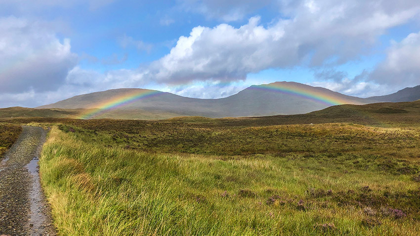
We were even greeted with another rainbow straddling the sponge-like hills. One of the best wild camping opportunities of the walk is said to lie just beyond Ba Bridge, next to the ruins of Ba Cottage off the trail. But pressing on to the Glencoe Mountain Resort, just short of Kingshouse, and up and over a tough peak, puts you in better stead for the next day. And in this wintry microclimate, a warm café is a big draw, even if it does turf you out at 8.30pm.
Temperatures dipped to -1C for us – well below anything else we experienced before or after. Our three seasons sleeping bags didn’t quite cut it this night, so if you’re going to choose any day to treat yourself to a camping pod or hotel, you’d do good to pick this one. Glencoe village is a bus ride away.
Walking time: 7 to 10 hours
Where to stay: Glencoe Mountain Resort
Day 6 – Kingshouse to Kinlochleven (9 miles / 14km)
If, like us, everything feels a bit numb after a subzero camping experience, the climb up the dreaded Devil’s Staircase will soon get the blood pumping again. This 259-meter ascent places you at the highest point of the WHW, at 548 meters.
The zigzagging path is steep and sustained but is over relatively quickly – and the views of the Glen Coe valley from the top, probably the most impressive of the hike, make the burning thighs worthwhile. We ate lunch perched on a cairn overlooking this famous mountain glen, once sculpted by ancient volcanos and glaciers.
Blessed with the sunniest weather of the trip so far, the spectacular views continued for us over the summit, across a small loch, the Mamores and Ben Nevis in the distance.
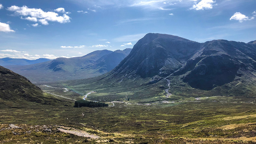
What goes up must come down and so, from here, the path descends sharply but steadily 500 meters to sea level. For the most part, along an open snaking track with continuing vistas that wouldn’t look out of place in a Lord of the Rings film.
Towards the bottom, the WHW joins a less impressive track enclosed by trees for the final downhill slog to the valley village of Kinlochleven. We stayed at the MacDonald Hotel and Campsite, which put us right beside the trail.
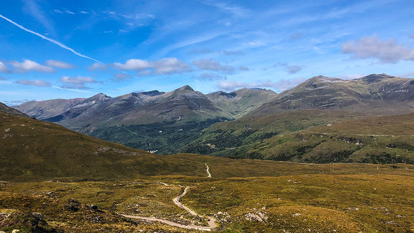
Perched right on the eastern tip of enchanting Loch Leven, it couldn’t have been a better choice for our final night. The camping ground is level and well-drained, with little lodges surrounding the green.
But its biggest draw is the bar and restaurant serving local beer and superb pub grub, with a sweeping terrace overlooking the rippling waters ahead.
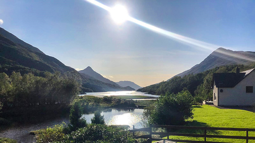
We spent the evening marveling over our proximity to the finish line and admiring the sunset just behind the mountains, lighting up the sky and the loch beneath it all shades of pink. This was the only point of the trip that we were bothered by midges; more a mild annoyance than anything else, but enough to make us itch and swat our way back indoors.
Walking time: 3 to 6 hours
Where to stay: Macdonald Hotel, Cabins and Campsite
Day 7 – Kinlochleven to Fort William (15 miles / 24km)
Another morning, and another steep climb to blow away the cobwebs. This time, an abrupt 250-meter ascent to the top of the Highlands flanking the north side of Loch Leven. Once over the treeline, we found some more of the walk’s best views, just as the sun began to edge its way over the peaks behind Kinlochleven, dousing the valley in its warm glow.
A long stretch of gentle, easy walking along a beautiful wide mountain pass follows, passing crumbling ruins and gently trickling streams. There are some stunning opportunities for wild camping, should your legs be able to cope with another steep climb after Devil’s Staircase on day six.
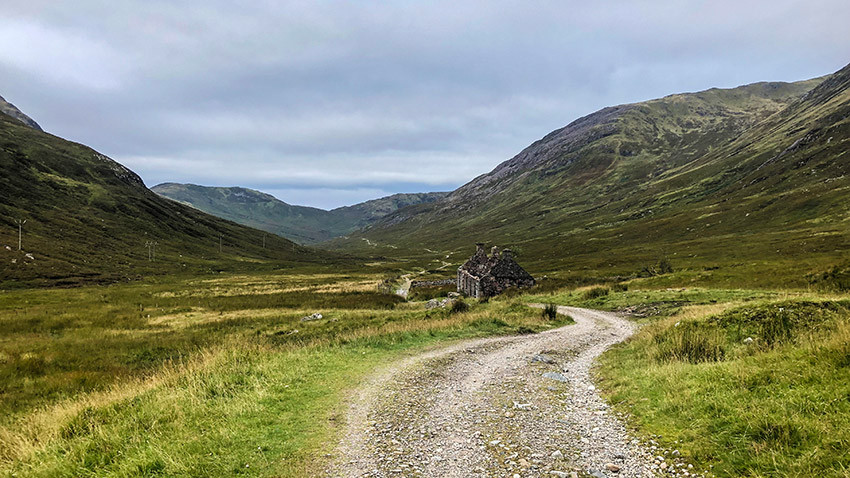
Near the end of the pass, there’s a Forestry Commission felling site and, soon after, a notice board and map, with an option to take a short cut along country lanes to Fort William. But you’d be missing out. Remaining on the WHW, the path narrows and climbs before traversing a hill with views to Ben Nevis in the north-east.
It then dips down into conifer forests, and the path seesaws through the trees for much of the remainder of the walk. The final descent to civilization is along a winding wide track towards Fort William in the distance.
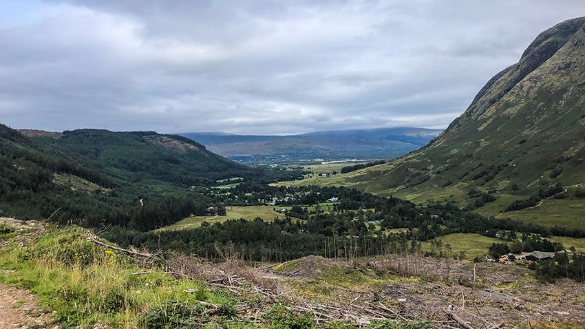
Emerging from the forest track into Glen Nevis, the final couple of miles follow a main road. Some choose to end the walk in this mountain scenery or climbing Ben Nevis. We plodded on, and while the end of the walk is an uninspiring anti-climax in many ways, reaching the finish point and getting a picture on the bench beside the sculpture of a seated walker as a token of our accomplishment was a must.
If doing this, you will curse the person who moved the finish line from its original position a mile earlier, leaving a sign about it being the old end point in its place. But there are plenty of pubs next to the new end point at the top of the high street, where you can toast your success.
Options for hiking
These are plentiful, with many mountains along the way to explore. These include Ben Lomond, the Munros above the Bridge of Orchy, Beinn Dorain and Beinn an Dothaidh, the peaks of Glen Coe and Ben Nevis.
Weather and terrain
Daytime temperatures are between 1C and 6C in January, and between 10C and 18C at the height of summer. Bear in mind, though, that the temperatures around Glen Coe will be significantly lower. Winter walking can be incredibly bleak, and is only for the hardiest, most experienced, hikers.
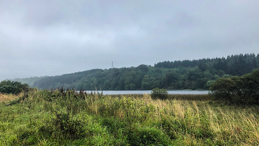
Expect no certainty; the weather is notoriously volatile and wildly changeable, whichever time of year you go. One minute, you can be enjoying a cup of tea overlooking a tranquil loch, and the next fighting to pack down your tent in gale force winds.
The speed at which things can change should never be underestimated and requires extra caution on the more remote and exposed sections of the way through the wilderness past the mid-way point, as well as trepidation across slippery rock terrain (there was at least one broken arm among my week’s walking contingent).
June and September are said to be the best times of year to take on the WHW. May, with its favorable weather, and July and August, due to the school holidays, are the most popular and therefore busiest times of year along the route.
What to know in advance
One word. Midges. These pesky biting insects plague the Highlands and are at their most prevalent during the muggy months of July and August. But they’re about between May and September, and protection against them is essential. We may have been lucky, or perhaps it was the wind, but we were barely bothered by them. You can find out how likely they’ll be to affect you on the Scottish Midge Forecast.
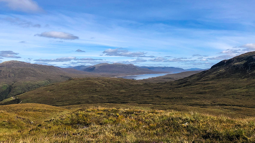
Remember that the route takes in a swathe of Loch Lomond and Trossachs National Park that has camping restrictions between May and October, which means that wild pitching isn’t allowed between Drymen and Rowardennan – unless you’re in a designated spot, with a permit. Find out more here.
A couple of bridges had been badly damaged before our visit, resulting in some short diversions – these were signposted, but it’s worth checking ahead for closures on the official West Highland Way website.
What to bring
Bring everything you need for a week-long hike, including camping equipment. You’ll also need a midge head net and repellent. Walking poles will help you balance on steep descents with a heavy bag and takes some pressure off the knees.
There are plenty of places to eat, but food for some breakfasts, lunch stops, and a handful of nights will be needed. Water purification tablets are a must if filling up flasks in lochs or streams, but there are frequent tap points in the towns.
What to wear
Pack for all eventualities. Sweat-licking base layers for the days, with a thick top mid-layer and a waterproof coat, as a minimum. And thermals for the evening. I took a super-thin down jacket, as well as a fleece and waterproof, but could have done with another layer for a couple of the nights. Gaiters were a godsend and kept my walking boots dry throughout, without the need to take waterproof trousers on and off.
- The best hiking jackets for men and women
- The best hiking boots for men
- The best hiking boots for women
Who can do it?
Its relative accessibility, bar some mild rock scrambling along the shores of Loch Lomond, means that no great level of hiking experience is required, so it’s a great introduction to long-distance walking in general. People of all ages can be found on the route – in fact, my friend did it several years ago and met a 90-year-old ticking it off his bucket list.
The route can be split into smaller sections to complete in a longer time frame, but a decent level of fitness is still needed to carry you through the tougher sections, as well as some basic ingenuity when it comes to the great outdoors to ensure safety.
Who to book with
If camping, it’s unlikely that you’d need to book – and that’s the beauty of doing things this way, as it’s so flexible. But hotels and cabins do get full well in advance. If you’re looking for permits for Loch Lomond camping, they will need to be sought in advance, too.


